Products

Browse the intelligence layers that turn satellite and source signals into usable sovereign decisions.

First-class product areas

Satellite clarity plus sovereign valuation.

Monitor vegetation health, soil moisture, thermal stress, traceability, ESG, alteration zones, lithology, terrain, evidence quality, recoverable value, and bid readiness without exposing users to operational clutter.

Orbis intelligence workspace preview

Connect With Us For A Free Trial

Choose how you want to evaluate Orbis and send the request to SPN Solutions.

Select Operating Geography

Geography Gate

ORBIS | SOVEREIGN RESOURCE INTELLIGENCE

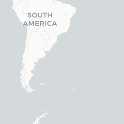
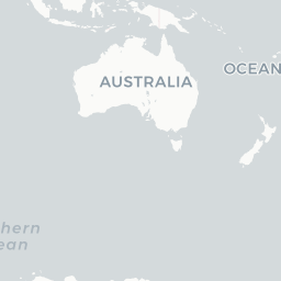
Global Operating Map

Start with the world, a continent, or a single country. Orbis then opens a dedicated workspace for that geography so every module, metric, map layer, and action stays in context.

Select a country on the map, choose a continent, or enter the world workspace.

Registered Assets 0 sovereign + private concessions
Gross In-Ground Value $0B risk-adjusted estimate
Priority Targets 0 survey or drill recommended
ESG Coverage 0% obligation framework attached

Interactive World Layer

Global Resource Atlas

Basemap
Overlays
ORBIS GEOINT Entire world / all countries indexed
Live basemap
Known/discovered New prospective Known + new Indexed only